Across Ontario · The head of the lake

Hamilton

A large lakeside city split in two by the Niagara Escarpment, with the lower city below, the Mountain above, and old towns all around it.

Map of Hamilton: main roads and highways, rivers, parks, and a few landmarks. Each part of town in this guide is marked; choose one to jump to itHamiltonLAKE ONTARIO4036QEWDowntownWestdaleAncasterThe MountainStoney CreekWaterdown
Point to a part of town or a landmark, or tap itMap data © OpenStreetMap contributors
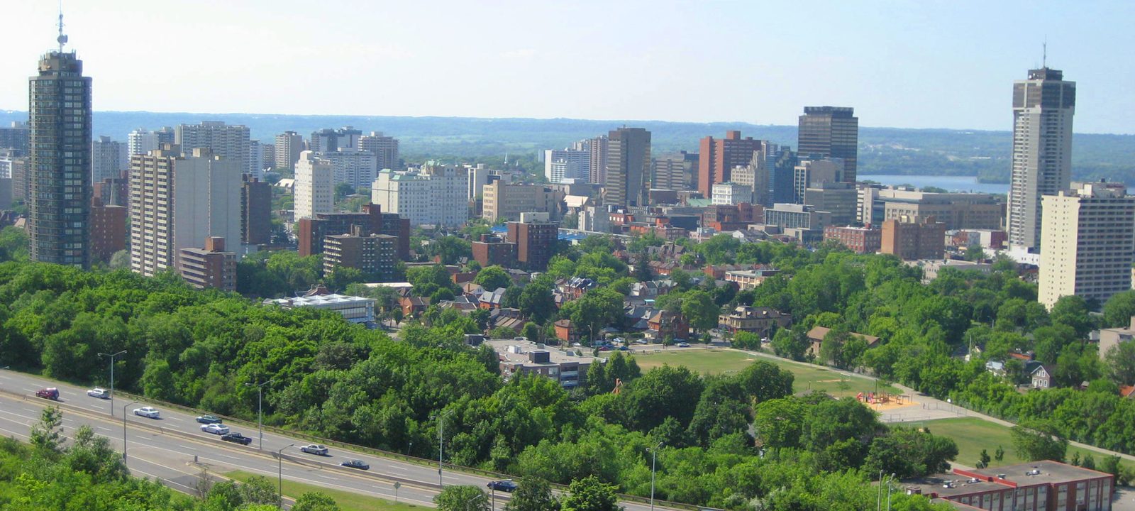
Downtown Hamilton’s towers seen from the top of the escarpment, with green trees below and Hamilton Harbour beyond
Downtown Hamilton from the top of the escarpment.
Photo: Rick Cordeiro (Nhl4hamilton), public domain

About Hamilton

Hamilton wraps around the western tip of Lake Ontario, about 68 kilometres southwest of Toronto. About 569,000 people lived here in 2021. The Niagara Escarpment runs right across the city, splitting it into the lower city, with the downtown and the harbour, and the upper city, which everyone calls the Mountain.

The town was laid out by George Hamilton on land he bought from James Durand after the War of 1812. A canal cut through the sandbar in 1832 made it a major port, and steel made it an industrial city. Stelco and Dofasco were founded in 1910 and 1912. Today Hamilton Health Sciences is the area’s largest employer.

The city of today was formed in 2001, when Hamilton joined with Ancaster, Dundas, Flamborough, Glanbrook, and Stoney Creek. Each still has its own character, and the guide visits them in turn.
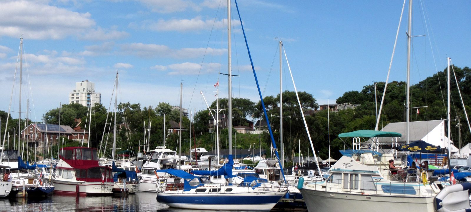
Sailboats moored at a marina in Bayfront Park on Hamilton Harbour, with trees and a few low buildings behind
Boats at Bayfront Park, on Hamilton Harbour.
Photo: Bohao Zhao, CC BY 3.0

Below the escarpment

Downtown and the lower city

Downtown Hamilton sits on George Hamilton’s original grid, between the harbour and the foot of the escarpment. The Art Gallery of Hamilton, founded in 1914 and the third largest public gallery in Ontario, is on King Street West, and Dundurn Castle, Sir Allan MacNab’s house from 1835, is on York Boulevard.

James Street North is lined with galleries, and Supercrawl fills it with art and music each September. Hess Village, between King and Main streets, is the nightlife district. Bayfront Park, on the harbour, has a marina.

Neighbourhoods

Durand and Corktown

Just south of downtown, below the escarpment. The Hamilton GO Centre is on Hunter Street East in Corktown.

Kirkendall

Around Locke Street South, a shopping street known for its antique shops and old churches.

The North End

Between downtown and the harbour, around James Street North and the West Harbour GO station.

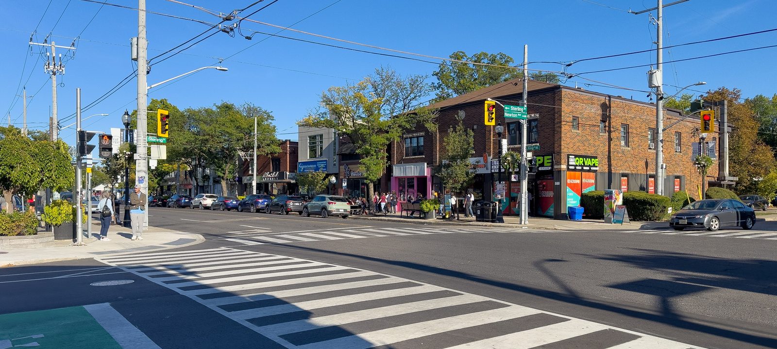
King Street West in Westdale village, with a crosswalk, low brick storefronts, and trees along the street
King Street West, in Westdale Village.
Photo: Dillan Payne, CC BY-SA 4.0

The west end

Westdale and Dundas

Westdale was planned in the 1920s and got its name from a contest in 1923. In 1927, part of the land was sold to the city for the new McMaster University campus and the first lands of the Royal Botanical Gardens. McMaster moved here from Toronto in 1930. The neighbourhood’s shopping street on King Street West has a library branch and the Westdale Theatre, restored by the community in 2019. Cootes Paradise, a large nature reserve, is just to the north.

Dundas, further west, is called the Valley Town because it sits at the foot of the escarpment. It was renamed Dundas in 1814, became a town in 1847, and prospered on the Desjardins Canal to the lake. Its population has stayed just over 20,000 for decades, since it is hemmed in by the Dundas Valley Conservation Area. The Carnegie Gallery is in the old library from 1910, and the town holds a Buskerfest in June and the Dundas Cactus Festival in August. The private Dundas Valley Golf and Curling Club is in Dundas as well, and the City’s Chedoke golf courses, on Aberdeen Avenue, are a short drive from Westdale.

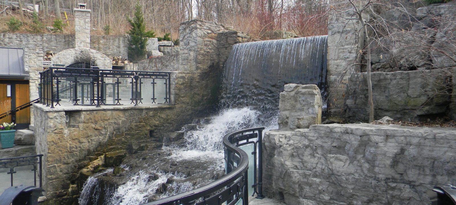
The stone mill on Mill Creek in Ancaster, with water rushing over a weir beside the old stone walls
The old mill on Mill Creek, in Ancaster.
Photo: Laslovarga, CC BY-SA 4.0

The old village

Ancaster

Ancaster was founded in 1792, and its mills made it one of the most important places in early Upper Canada. By 1823 it was the province’s largest industrial and commercial centre. The Union Hotel, built on Wilson Street in 1797, was the site of the Bloody Assize trials during the War of 1812, and the Tisdale house at 314 Wilson Street, from about 1806, is the oldest building in town.

Wilson Street is still the main street of the old village, with Victorian buildings along it. Most of the newer growth is east of Highway 403, in neighbourhoods like the Meadowlands and around a large shopping centre. Hamilton Golf and Country Club opened in Ancaster in 1916, and its Harry Colt golf course has hosted seven Canadian Opens.

The green, tree covered face of the Niagara Escarpment rising behind the lawns of Corktown Park in the lower city
The escarpment, seen from Corktown Park.
Photo: Qviri, CC BY-SA 4.0

Above the brow

The Mountain

Above the escarpment, the Mountain is mostly residential. Concession Street runs along the brow, with Juravinski Hospital on it, and Mohawk College is on Fennell Avenue West.

The Lincoln Alexander Parkway crosses the Mountain from Highway 403 to the Red Hill Valley Parkway, which runs down to the QEW. Further south, John C. Munro Hamilton International Airport is near Mount Hope, beside the Canadian Warplane Heritage Museum, and hundreds of new homes have gone up in Binbrook since 1974. About 10,800 people lived there in 2021.

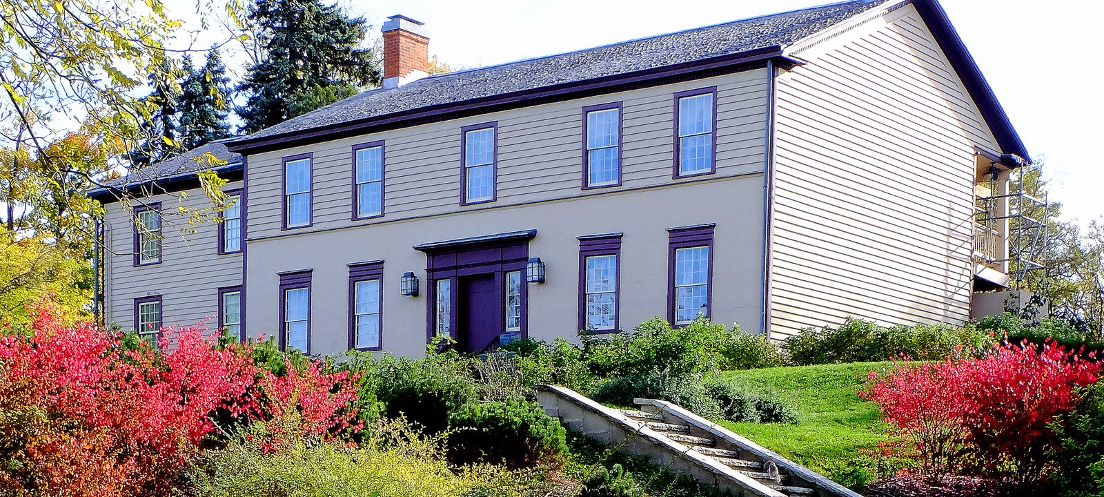
Battlefield House, a white two storey clapboard house with red flowering shrubs and a garden in front, in Stoney Creek
Battlefield House, in Stoney Creek.
Photo: Frank McPhee, CC BY-SA 4.0

The east end

Stoney Creek

Stoney Creek, about ten kilometres east of downtown, takes its name from the creek that runs from the Devil’s Punchbowl on the escarpment down to the lake. On June 6, 1813, British regulars and local militia beat back an American army here, and the battlefield is now a park with Battlefield House, on King Street West. The Erland Lee Museum marks the place where the world’s first Women’s Institute was founded.

The historic Old Town is below the escarpment. Homes spread across the lower city in the 1970s and 1980s and onto the Mountain in the 1990s and 2000s, but most of Stoney Creek is still farmland, with villages like Winona, Fruitland, and Vinemount. Fifty Point Conservation Area, on the lake, has camping and a small craft harbour.

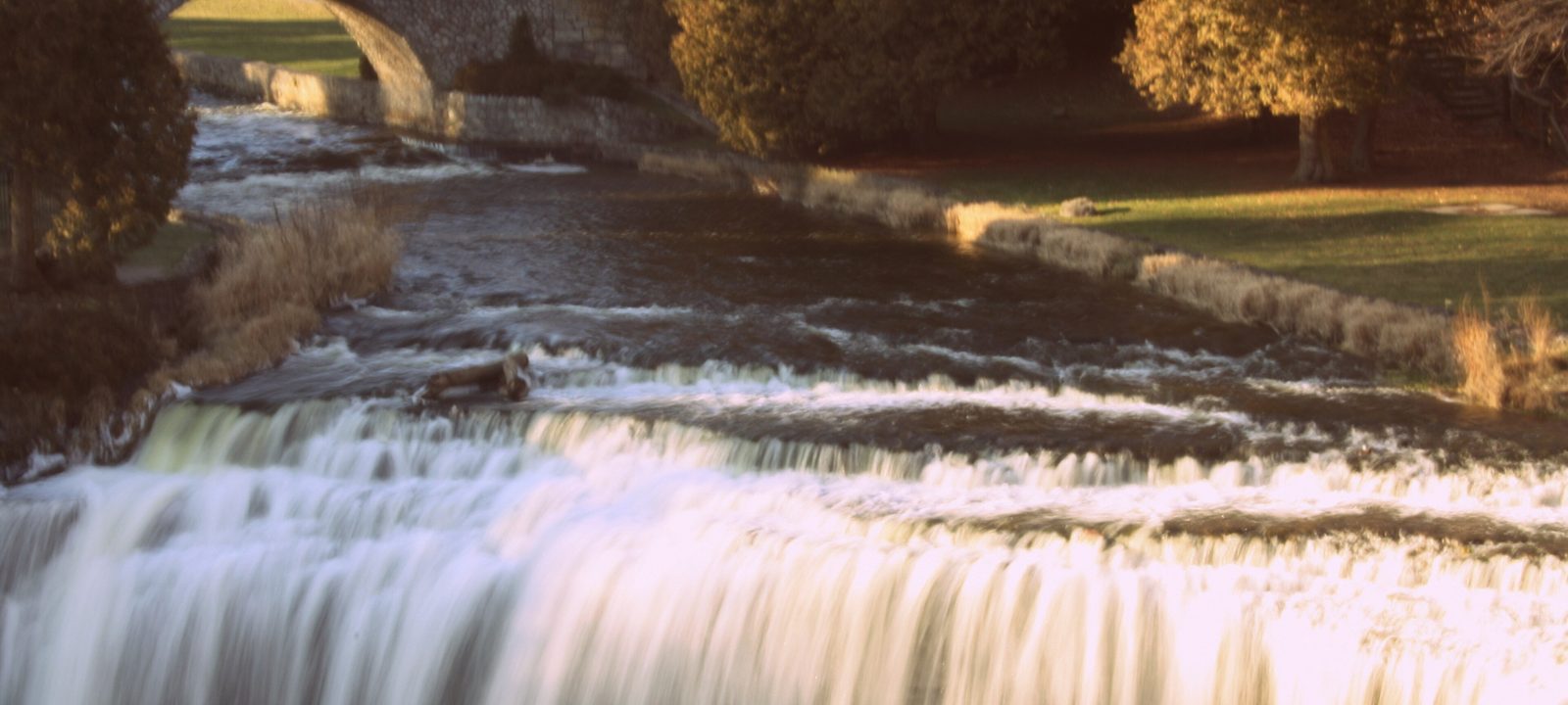
Webster’s Falls spilling over a wide rock ledge in autumn, with a stone footbridge and golden trees behind
Webster’s Falls, in the Spencer Gorge near Greensville.
Photo: Maya Maceka, CC BY 2.0

The rural north

Waterdown and Flamborough

Waterdown is the largest community in Flamborough, home to about 24,400 people in 2021. Alexander Brown built a log cabin and sawmill at the top of the Great Falls in what is now Smokey Hollow in 1805, and mills soon sprang up around it. Today Waterdown is a growing suburban town with plenty of new shops and services.

The rest of Flamborough is rolling farmland and small villages, among them Carlisle, Freelton, Greensville, Lynden, Millgrove, and Rockton. Webster’s Falls, a 22 metre curtain of water on Spencer Creek, is in the Spencer Gorge near Greensville. The countryside also holds a good share of Hamilton’s public golf, at courses such as Carlisle, Dragon’s Fire, and Pineland Greens near Millgrove.

Sources

We wrote this guide from the public sources listed here, and checked each place against them. Neighbourhood names follow local usage, the streets named are examples rather than boundaries, and the marks on the map are approximate. Details such as school boundaries, zoning, and transit routes change, so please check anything important with the municipality or the school board.