Across Ontario · Wellington County

Guelph

The Royal City, laid out from a hilltop downtown where the Speed and Eramosa rivers meet. A university town with old stone streets in the middle and newer neighbourhoods around them.

Map of Guelph: main roads and highways, rivers, parks, and a few landmarks. Each part of town in this guide is marked; choose one to jump to itGuelph6DowntownUniversityNorth endEast endWest endSouth end
Point to a part of town or a landmark, or tap itMap data © OpenStreetMap contributors
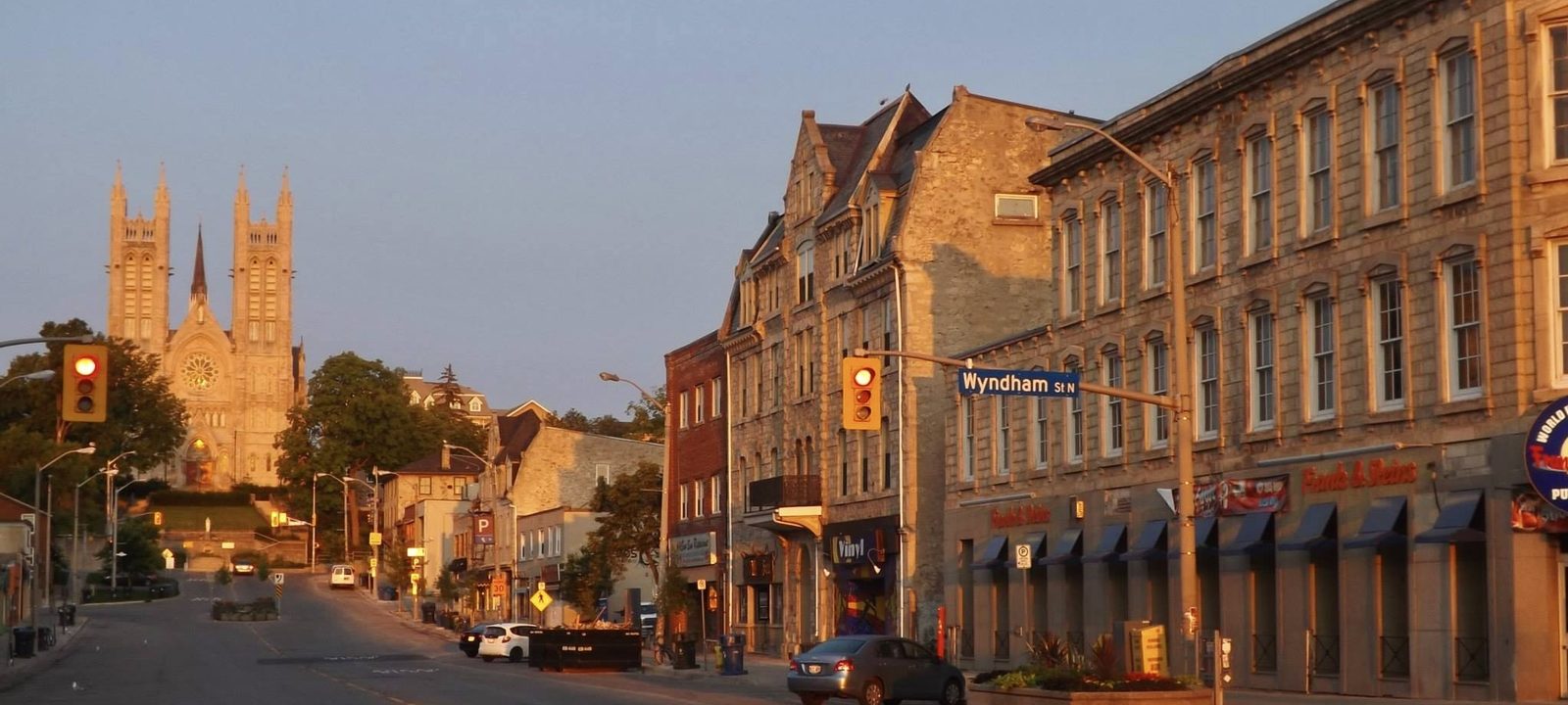
Macdonell Street in downtown Guelph in early morning light, with stone storefronts and the twin towers of the Basilica of Our Lady Immaculate at the end of the street
Macdonell Street at sunrise, with the Basilica of Our Lady on the hill.
Photo: Andre Carrotflower, CC BY-SA 4.0

About Guelph

Guelph was founded on April 23, 1827, St. George’s Day, when John Galt of the Canada Company and William “Tiger” Dunlop felled a tree to mark the start of the town. Galt designed it to feel like a European town centre, with squares, broad main streets, and narrow side streets, and his radial plan still shapes the downtown today.

The name honours King George IV, whose family descended from the House of Welf, and that is why Guelph is called the Royal City. It became a city in 1879. The University of Guelph, formed in 1964 from the Ontario Agricultural College, the Ontario Veterinary College, and the Macdonald Institute, is now a large part of daily life here.

The city sits on drumlins above the meeting of the Speed and Eramosa rivers, and it draws almost all of its drinking water from groundwater, the largest city in Canada to do so. The guide below goes part by part: the old core first, then the university side, and then the north, east, west, and south ends.

The centre

Downtown and the old wards

Downtown sits on the high ground above the rivers, and the streets still fan out from it the way Galt drew them. Wyndham, Macdonell, and Quebec streets hold most of the shops and restaurants, in stone and brick buildings well over a century old. Old Quebec Street, a nineteenth century street, was roofed over and turned into an indoor mall in 1984.

The Basilica of Our Lady Immaculate stands on Catholic Hill at the top of Macdonell Street. Joseph Connolly designed it, it was built between 1876 and 1888, and its twin towers were added in 1926. It is a National Historic Site, and so is Old City Hall on Carden Street, finished in 1857. The Guelph Civic Museum has been beside the Basilica since 2012.

Getting in and out

Guelph Central Station, at 79 Carden Street, was built by the Grand Trunk Railway in 1911 and is a designated heritage railway station. GO trains and VIA Rail stop here, and the local buses meet at the same spot. The Guelph Farmers’ Market, which traces its history to 1827, is a short walk away on Gordon Street, and the River Run Centre, the city’s performing arts centre, is on Woolwich Street by the Speed.

Around downtown

The Ward

St. Patrick’s Ward, east of downtown along the rivers, grew up with factories and modest homes side by side. Many newcomers from Europe, especially Italy, settled here after 1850, and the mix of old houses and former industrial buildings is still part of its character.

Exhibition Park

Northwest of downtown, around the city’s oldest park. The neighbourhood was settled in the 1870s and still has many Victorian homes. Guelph Collegiate Vocational Institute, one of the oldest high schools in the province, is on Paisley Street at its south edge, and Our Lady of Lourdes Catholic High School is close by.

St. George’s Park

Northeast of downtown, on the highest part of the city. This is one of the oldest neighbourhoods, settled by wealthier families, and the streets running up the hill are known for their heritage homes, many of them carefully renovated.

The Junction and Sunny Acres

West of downtown, near the rail lines. Smaller, older streets within an easy walk of downtown and the Speed River.
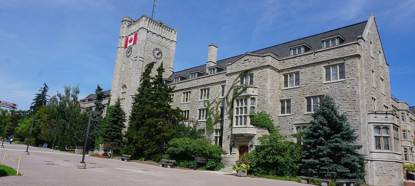
Johnston Hall at the University of Guelph, a stone building with a clock tower, seen across the campus on a sunny day
Johnston Hall, in the middle of the University of Guelph campus.
Photo: JFVoll, CC BY-SA 3.0

South of the Speed

The university side of the river

South of the Speed, the land rises toward the University of Guelph. The university grew out of the Ontario Agricultural College, which opened in 1874, and it is still home to the agricultural and veterinary colleges. The Arboretum, on the east side of campus, is open to the public and has trails through woods and gardens.

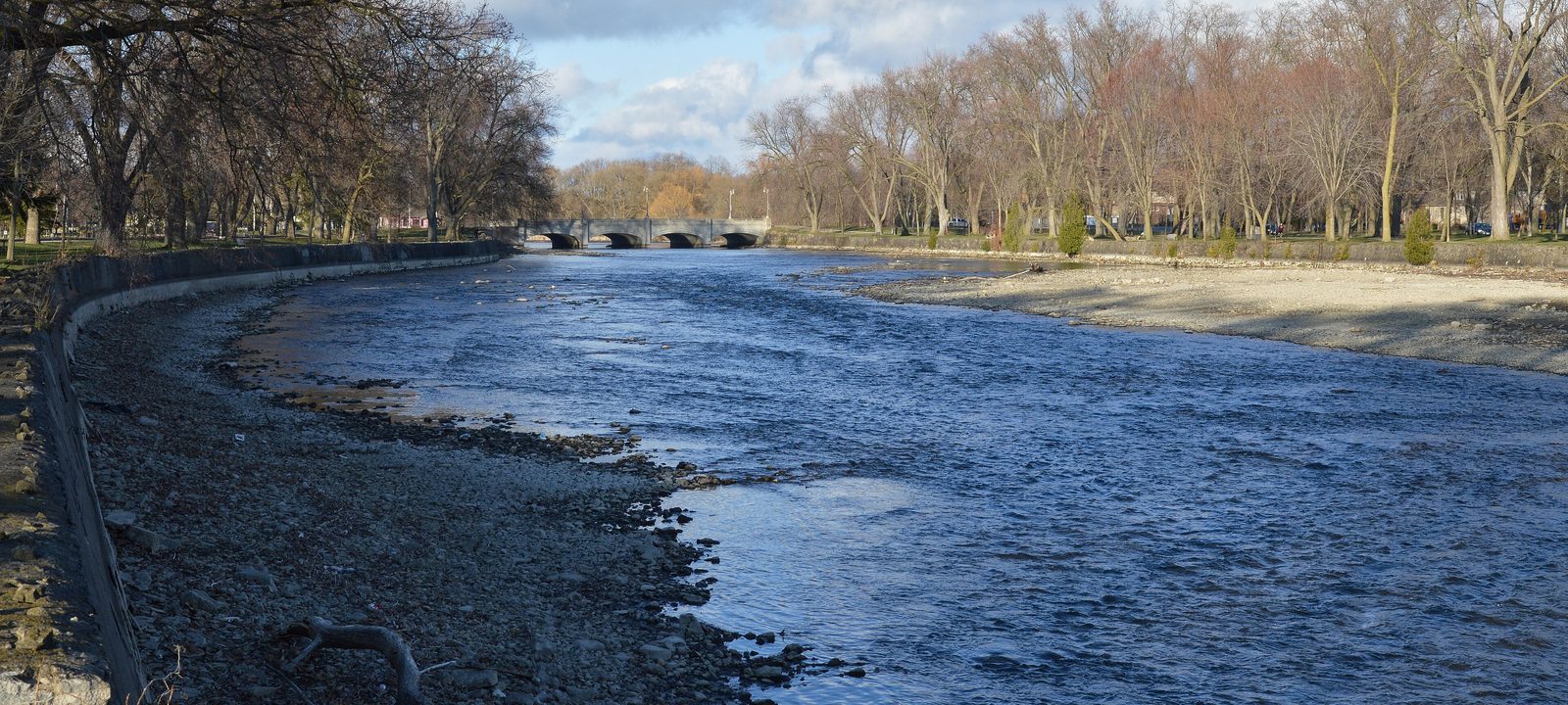
Between downtown and the campus are some of Guelph’s older streets. The Brooklyn and College Hill area is a designated heritage conservation district under the Ontario Heritage Act. Royal City Park follows the Speed below it, with a covered footbridge built in 1992 by the Timber Framers Guild.

Cutten Fields, the private club on College Avenue East, opened in 1931. Arthur Cutten, a Guelph born commodity trader, paid for it, and Chick Evans and Stanley Thompson designed the golf course.

Neighbourhoods

Old University

The streets just north and west of campus, between the university and the river. Most homes are older houses within an easy walk of campus. Centennial Collegiate and College Heights Secondary are both on College Avenue West.

Brooklyn and College Hill

The heritage conservation district between downtown and the university, with nineteenth century homes on quiet streets above the Speed River and Royal City Park.

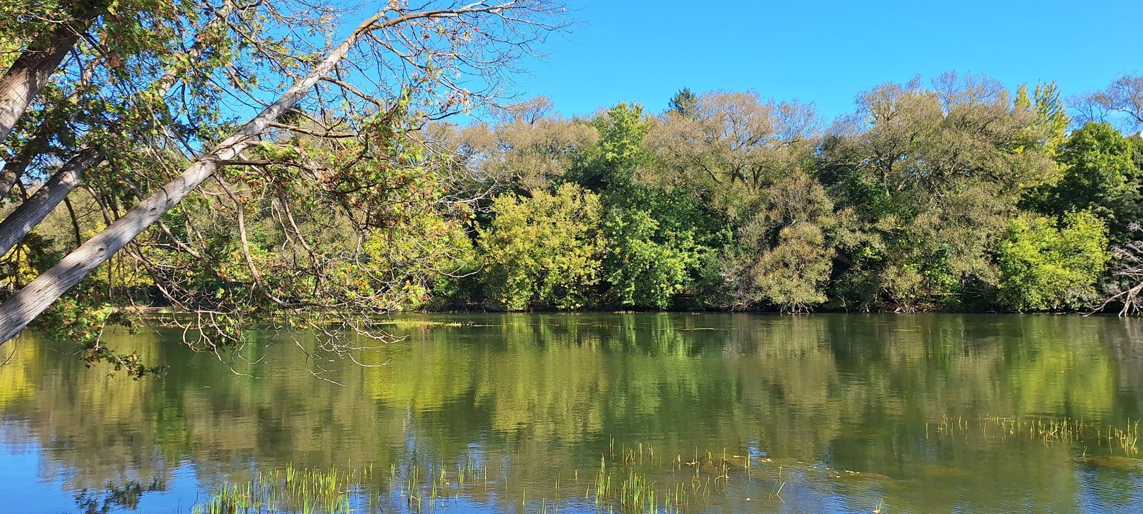
The Speed River in Riverside Park, Guelph, with leafy trees reflected in calm water under a blue sky
The Speed River in Riverside Park, in the north end.
Photo: Terry.grignon, CC0

Along the Speed

The north end

North of downtown, the Speed River runs past Riverside Park, one of the city’s best known parks, with paths along the water. The neighbourhoods on either side are mostly established residential streets, with schools and small plazas mixed in.

Woolwich Street, which becomes Highway 6 toward Fergus and Elora, is the main road north. Guelph General Hospital and Homewood Health Centre, founded in 1883, are both on Delhi Street, north of downtown. Farther out, on Woodlawn Road East, Guelph Country Club has a nine hole golf course that has taken public players since 1999.

Neighbourhoods

Brant

In the north end, east of the Speed. The Brant Avenue Neighbourhood Group runs programs out of Friendship Lane on Algonquin Drive, and the streets around it are established family neighbourhoods.

North Riverside and Waverley

Around Riverside Park and Waverley Drive. The neighbourhood group meets at Waverley Drive Public School, and the river trail is a short walk away.

June Avenue

In the northwest, between the Speed River and the west end. A quiet residential area with its own neighbourhood group.

Toward Guelph Lake

The east end

The east end climbs away from the Eramosa River toward Guelph Lake, a reservoir with a conservation area run by the Grand River Conservation Authority. York Road runs east from the old core, and the Eramosa River Park and trail follow the river below it.

Much of the east end is newer than the core, with family streets and schools built over the last few decades. St. James Catholic High School is on Victoria Road North.

Neighbourhoods

Grange Hill East

A larger residential area in the northeast. Its neighbourhood group is based at Ken Danby Public School on Grange Road, with community rooms on Auden Road.

Two Rivers

Close to where the Speed and the Eramosa meet, east of downtown. Older streets near the rivers, within walking distance of downtown and the river trails.

Toward Kitchener

The west end

The west end runs out toward Highway 7 and the road to Kitchener. It is mostly residential, with the Willow West shopping plaza and the West End Community Centre on Imperial Road South.

The Hanlon Expressway, Highway 6, runs along the east side of the west end, so it is an easy drive down to the 401.

Neighbourhoods

Parkwood Gardens

Around the West End Community Centre on Imperial Road South. Family streets, schools, and parks close together.

Onward Willow

Around Willow Road, north of Paisley Road. The Onward Willow Centre on Willow Road is a hub for the neighbourhood.

A wide bend in the Speed River at Royal City Park in Guelph, with bare trees along the banks in early spring
The Speed River at Royal City Park, on the way south from downtown.
Photo: Ryan Hodnett, CC BY-SA 4.0

Newer neighbourhoods

The south end

Many of Guelph’s newer subdivisions are in the south end. Gordon Street is the main road through it, and Stone Road Mall is on Stone Road West. Hanlon Creek Park and Preservation Park keep wide strips of woods and wetland between the neighbourhoods. At the south end of Gordon Street, Springfield is a public golf course that opened in 1989.

Highway 401 is a short drive south, which makes the south end an easy base for work in Cambridge, Kitchener, or the GTA. The City’s Clair-Maltby plan covers the land at the southern edge that is still to be built.

Neighbourhoods

Kortright Hills

West of Gordon Street, near Hanlon Creek and the Speed. Kortright Hills Public School is on Ptarmigan Drive, and the neighbourhood group meets there.

Hanlon Creek

Around Hanlon Creek Park and its woods and ponds, near the Hanlon Expressway. Trails link the streets to the park.

Clairfields

Near Clair Road and Gordon Street at the far south end. Bishop Macdonell Catholic High School is on Clair Road West, and the South End Community Park is close by.

Westminster Woods

In the southeast, east of Gordon Street. Westminster Woods Public School is on Goodwin Drive, and the homes are among the newer ones in the city.

Rickson Ridge

Between Gordon Street and Victoria Road, south of Stone Road. Family streets with their own neighbourhood group.

Sources

We wrote this guide from the public sources listed here, and checked each place against them. Neighbourhood names follow local usage, the streets named are examples rather than boundaries, and the marks on the map are approximate. Details such as school boundaries, zoning, and transit routes change, so please check anything important with the municipality or the school board.