Waterloo Region · The regional seat

Kitchener

The largest city in Waterloo Region, settled by Mennonite families from Pennsylvania and known as Berlin until 1916. Old brick neighbourhoods around a busy downtown, with newer streets reaching south toward the 401.

Map of Kitchener: main roads and highways, rivers, parks, and a few landmarks. Each part of town in this guide is marked; choose one to jump to itKitchenerGrand River401785DowntownWest sideEast sideDoon
Point to a part of town or a landmark, or tap itMap data © OpenStreetMap contributors
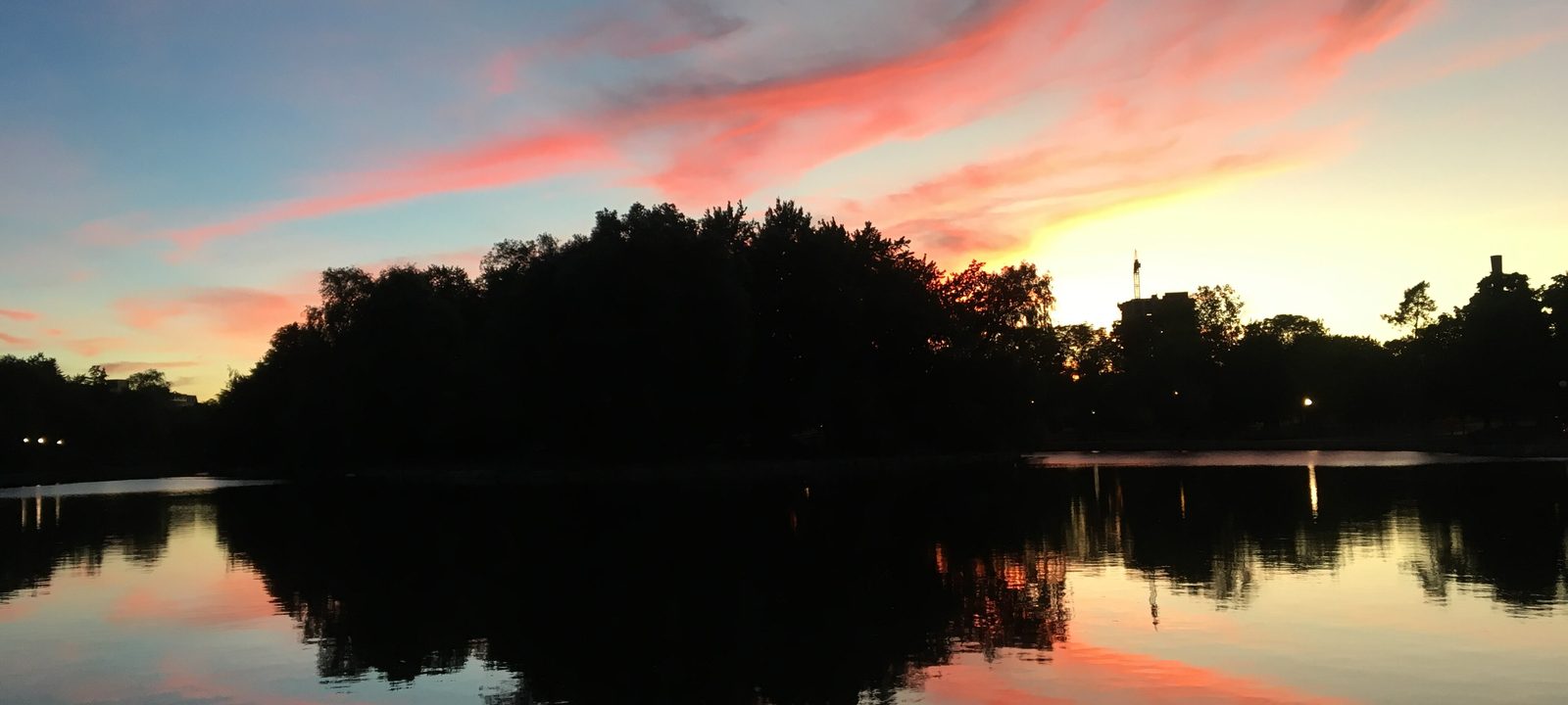
Victoria Park Lake in Kitchener at sunset, with a wooded island silhouetted against a pink and orange sky reflected in still water
Victoria Park Lake at dusk, a few streets from downtown.
Photo: Kiknation, CC BY-SA 4.0

About Kitchener

Kitchener began with Benjamin Eby, a Mennonite preacher who came from Lancaster County, Pennsylvania, in 1806 and bought much of the land that became the village. For years it was called Ebytown. The name Berlin first appears in a land sale in 1833, and in 1853 Berlin became the seat of the new County of Waterloo.

It grew into a busy factory town, much of it built by German speaking families, and became a city in 1912. During the First World War the name became a burden, and a 1916 referendum changed it to Kitchener. The German heritage is still easy to see, most of all every October at Kitchener-Waterloo Oktoberfest, billed as Canada’s Greatest Bavarian Festival.

Kitchener and Waterloo run together so closely that many people just say K-W, though each has its own city hall. The City divides Kitchener into more than fifty planning communities. This guide groups them the way people tend to talk about them: downtown and the older streets around it, Westmount and the west side, the east side along the Grand, and Doon and the south end.
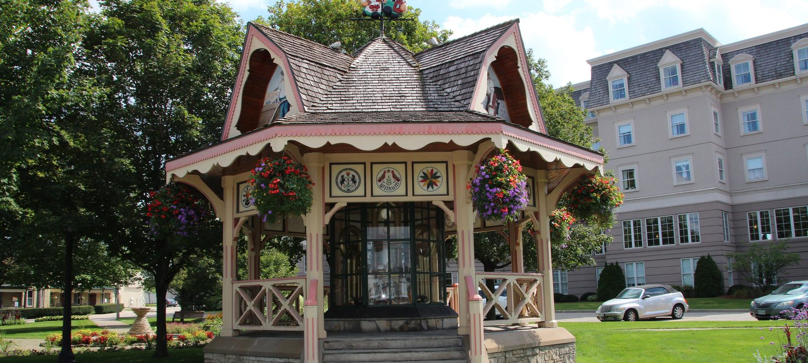
An ornate wooden gazebo with a decorative roof in Victoria Park, Kitchener, surrounded by green lawn and trees on a summer day
The gazebo in Victoria Park, on the edge of downtown.
Photo: Onasill ~ Bill, CC BY-SA 2.0

The centre

Downtown and the older streets

King Street is the main street downtown, and the ION light rail now runs along it. Kitchener City Hall, designed by Bruce Kuwabara, opened on King Street West in 1993, with a civic square in front of it. The Kitchener Market, on King Street East, moved into its current building in 2004 and is one of the oldest continuously running markets in Canada.

Victoria Park is the main park in the older city. It grew out of a parks board formed in the 1890s, and the lake, islands, and paths are a few minutes’ walk from King Street. The clock tower from the old City Hall, which was torn down in 1973, has stood in the park since 1995.

Around the core

The Waterloo County Gaol, at Queen and Weber, is the oldest government building in Waterloo Region, and the Governor’s House beside it was added in 1878. Centre In The Square, the city’s concert hall, is on Queen Street North. Kitchener-Waterloo Collegiate and Vocational School, founded in 1855, is the oldest high school in the city, and Cameron Heights Collegiate is downtown too.

Trains

Kitchener station dates from 1897 and is a designated heritage building. It is the western end of the GO Kitchener line to Toronto, and VIA Rail stops here as well.

Neighbourhoods near downtown

Victoria Park

The streets around the park, southwest of King Street. Older brick homes on tree lined streets, within an easy walk of downtown.

Civic Centre

North of downtown, around Centre In The Square, the Kitchener Public Library, and the art gallery. Older homes on a grid of short streets.

King East and Cedar Hill

East of the core, near the Market. Older working neighbourhoods of brick homes, some now being rebuilt or added to as the core grows.

Mill Courtland Woodside Park

South of downtown, where the Iron Horse Trail runs on an old rail line through the neighbourhood. Close to Rockway Gardens and the downtown.

Central Frederick

Northeast of downtown, along Frederick Street. Older homes close to the core and the Regional offices.

On the hills

Westmount and the west side

Westmount was one of the first planned suburbs in the city. Talmon Henry Rieder, a rubber manufacturer with ties to Montreal, modelled it on the Montreal suburb of the same name and called it the “Development Beautiful.” It was laid out on forested hills north of the old Schneider farm, and some of its street names, Belmont Avenue among them, came from the Montreal original. It was laid out around Westmount Golf and Country Club, a private golf club that opened in 1931.

Forest Heights Collegiate opened in 1964 in the western Forest Heights neighbourhood, and Grand River Hospital is on King Street West near the Waterloo line.

Neighbourhoods

Westmount

Curving streets, mature trees, and some of the larger older homes in the city, laid out around the Westmount Golf and Country Club. Belmont Village, a short strip of shops and restaurants on Belmont Avenue, is its neighbourhood main street.

Victoria Hills and Forest Hill

South of Westmount, on either side of Fischer-Hallman Road. Quiet crescents and parks. Forest Heights Collegiate is on Fischer-Hallman Road.

Forest Heights

Farther west, toward Highland Road and the edge of the city. Family streets, parks, and schools.

Laurentian Hills and Laurentian West

Southwest of the core, around Ottawa Street and Westmount Road. Streets of homes, townhouses, and parks, with shopping along the main roads.

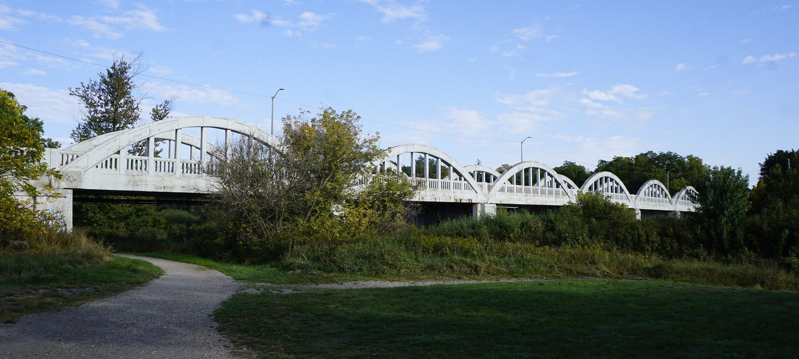
The white arched Freeport Bridge crossing the Grand River in Kitchener, seen from a paved trail through green parkland
The Freeport Bridge over the Grand River, built in the 1920s.
Photo: JFVoll, CC BY-SA 3.0

Toward the river

The east side and the Grand River

East of downtown, the city runs out to the Grand River. Neighbourhoods here grew mostly after the Second World War, and the Stanley Park Neighbourhood Association covers a big piece of them, from Stanley Park to Heritage Park and the communities along the river. Stanley Park Conservation Area keeps a block of woods in the middle of it all.

Grand River Collegiate opened in 1967 in the northeast, and Eastwood Collegiate in 1956 in what was then the city’s southeast. Chicopee, the ski and snowboard hill, is within the city limits on this side, and Fairview Park Mall, at the south end of the ION line, is a short drive away.

Neighbourhoods

Stanley Park and Heritage Park

The middle of the east side, around Stanley Park Conservation Area and the schools near it. Mostly detached homes on curving streets.

Grand River North and South

Along the river in the northeast. Newer family neighbourhoods close to the Grand and its trails.

Bridgeport

In the north, by the Grand River. Bridgeport was a village of its own before it became part of Kitchener, and some of its older homes and quiet streets remain.

Centreville Chicopee

Around the Chicopee hill in the east end, near the Grand River and the Conestoga Parkway.

Eastwood and Rockway

Southeast of downtown, around Eastwood Collegiate and the city’s Rockway golf course and Rockway Gardens. Established streets with easy access to the Parkway.

A nineteenth century fieldstone cottage with a steep roof on Doon Valley Drive in Kitchener, set back on a green lawn with evergreens
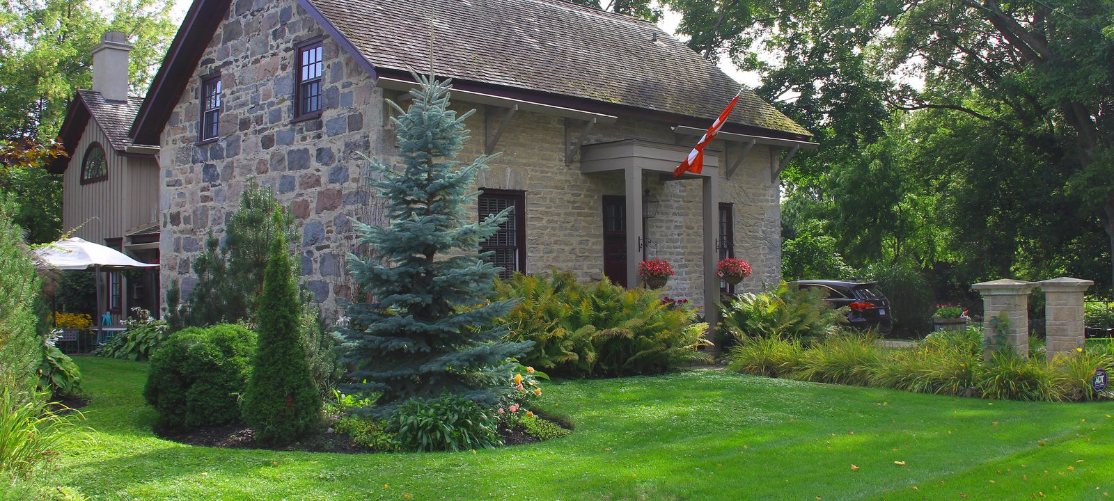
A stone house on Doon Valley Drive, in the old village of Doon.
Photo: Anne Soppelsa, CC BY-SA 3.0

Toward the 401

Doon and the south end

Doon was a village of its own, settled around 1800 by Mennonite families from Pennsylvania and, after 1830, by Scottish newcomers. It sits where Schneider Creek runs into the Grand. Adam Ferrie Jr. named it after Loch Doon and the River Doon in Scotland, and the landscape painter Homer Watson lived here all his life.

Today Doon holds the main campus of Conestoga College and Doon Heritage Village, the living history village beside the Ken Seiling Waterloo Region Museum. Pioneer Tower stands beside the Doon Pioneer Cemetery, where the first recorded burial was in 1806.

The newer south end

West of Doon, the south end has filled in over the last few decades, around the Huron Natural Area, a large protected woodland and wetland. Huron Heights Secondary School opened in the southwest in 2006, and St. Mary’s High School moved to the southwest in 2002. Highway 401 is close by for the drive to Cambridge, Guelph, or the GTA. The City’s Doon Valley golf course is beside the Grand, and Deer Ridge, a private club, and RiverEdge, a public nine, are down near the 401.

Neighbourhoods

Lower Doon and Pioneer Park

Around the old village, Homer Watson Park, and the Grand River. A mix of older village homes and newer streets near the college.

Doon South and Brigadoon

South of Doon toward the 401. Mostly newer detached homes and townhouses on curving streets.

Huron Park and Huron South

Around the Huron Natural Area in the southwest. Among the newest neighbourhoods in Kitchener, with family homes and new schools.

Country Hills

Between Doon and the Conestoga Parkway. Established family streets, close to Fairview Park Mall.

Rosenberg and Trussler

At the far southwest edge, where new streets are still being built on former farmland.

Sources

We wrote this guide from the public sources listed here, and checked each place against them. Neighbourhood names follow local usage, the streets named are examples rather than boundaries, and the marks on the map are approximate. Details such as school boundaries, zoning, and transit routes change, so please check anything important with the municipality or the school board.