Across Ontario · Wellington County

Puslinch

A rural township next to Cambridge and just south of Guelph, crossed by the 401. About half of it is forest.

Map of Puslinch: main roads and highways, rivers, parks, and a few landmarks. Each part of town in this guide is marked; choose one to jump to itPuslinchPuslinch LakeSpeed River6AberfoyleMorristonPuslinch LakeArkell
Point to a part of town or a landmark, or tap itMap data © OpenStreetMap contributors
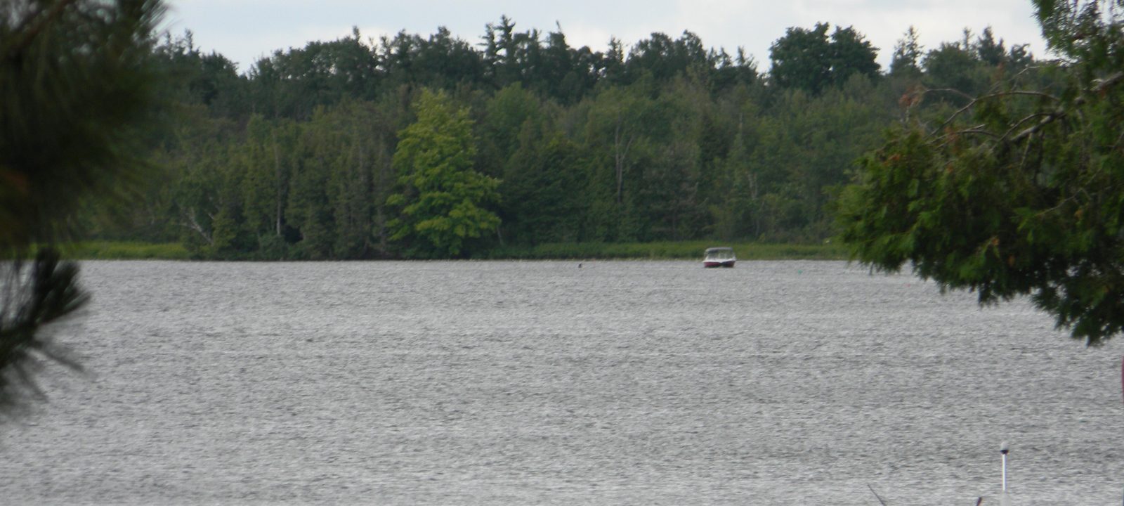
Puslinch Lake on a grey day, with a picnic table on the shore and a line of trees across the water
Puslinch Lake, at the western edge of the township.
Photo: Laslovarga, CC BY-SA 4.0

About Puslinch

Puslinch wraps around the south end of Guelph and runs down to the Cambridge and Hamilton lines. It is about 215 square kilometres of farms, woods, and gravel country, home to about 7,900 people in 2021. Its communities include Aberfoyle, where the township offices are, Morriston, Arkell, Badenoch, Crieff, Killean, and Puslinch Lake.

The township is named after Puslinch House in Devon, the birthplace of Lady Colborne, wife of Sir John Colborne, Lieutenant Governor of Upper Canada. It was surveyed between 1828 and 1832, and many of its first settlers came up the Stone Road from Dundas. By 1846 most of its 1,500 people were Highland Scots.

Much of the land is farmed or forested, and aggregate pits are a big local industry. That matters to buyers. Before buying a country property here, it’s worth finding out what’s planned nearby. We’d also advise testing the well and inspecting the septic system.
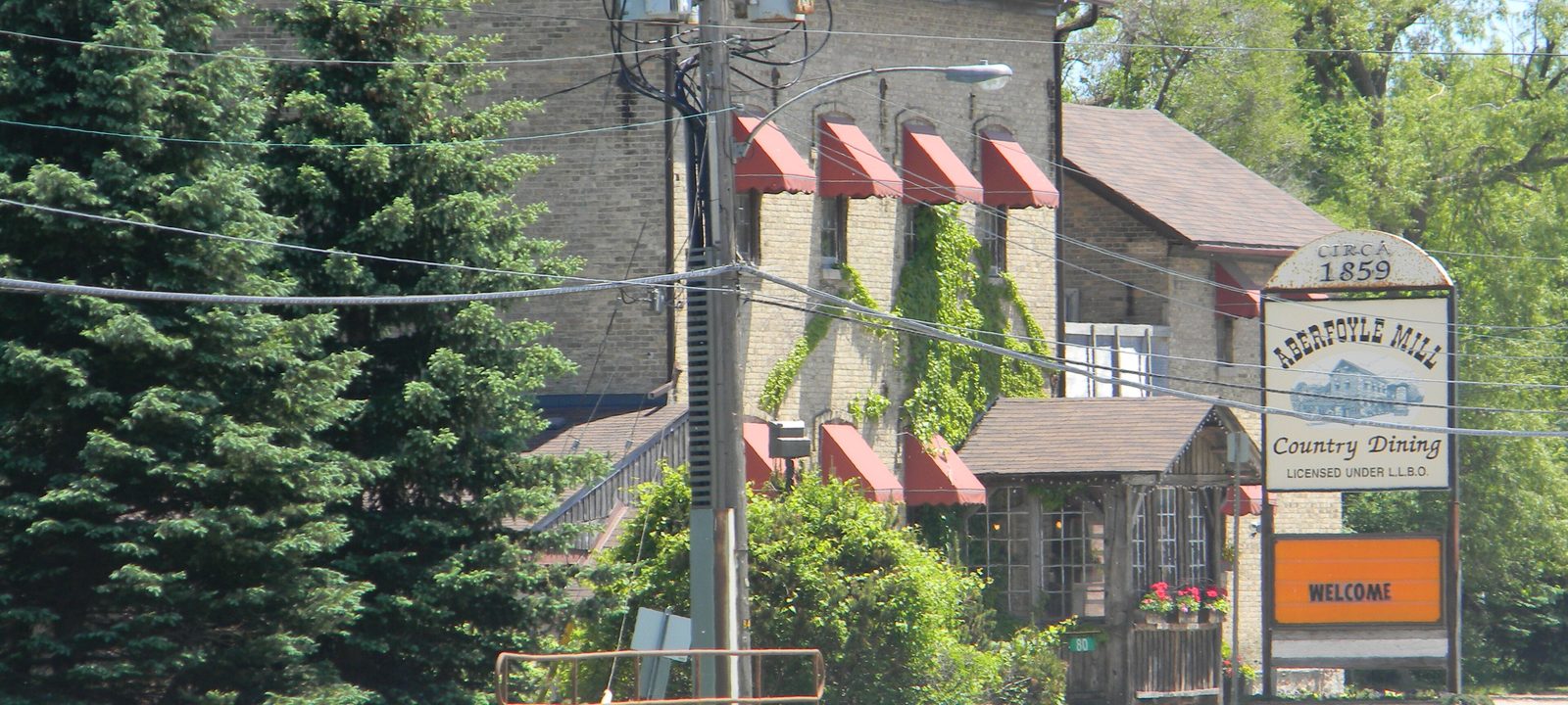
The Aberfoyle Mill, a tall stone and brick building with red striped awnings behind evergreens, beside the road
The old Aberfoyle Mill, now a restaurant.
Photo: Laslovarga, CC BY-SA 3.0

The centre

Aberfoyle

Aberfoyle sits at the headwaters of Mill Creek, about three kilometres south of Guelph on Brock Road, the old Highway 6. George Schatz built a sawmill here in 1831, when the place was called Schatzville and most of its families were German. John McFarlane, who opened the first general store in 1841, named it after Aberfoyle in Perthshire, Scotland.

It is the township’s centre today, with the municipal offices, the fire station, the community centre, and Aberfoyle Public School. The Aberfoyle Antique Market is here too, and spring water has long been bottled at a well in the village.

Getting around

The Aberfoyle park and ride, at Brock Road and McLean Road, is a stop for GO buses to Waterloo, Hamilton, Mississauga, Milton, and York University. Highway 401 runs just to the south. To the north, toward Guelph, Victoria Park Valley is a public golf course at Maltby Road and Victoria Road that opened in 2012.

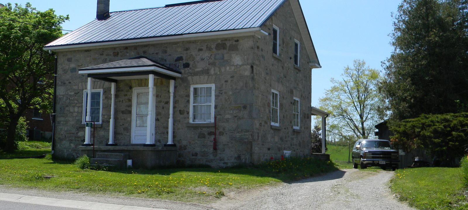
A small one and a half storey stone house with a metal roof and a front porch beside the road in Morriston
An old stone house in Morriston.
Photo: Laslovarga, CC BY-SA 3.0

On Highway 6

Morriston and Badenoch

Morriston is a small village on Highway 6, south of the 401. Many of the township’s German families settled around it, and by 1857 it had its own volunteer fire company with a single fire wagon.

Before European settlement, the Neutral people, also called the Attawandaron, had a village of about 4,000 people in what is now the Badenoch area near Morriston. Badenoch today is quiet farmland east of the village.

By the lake

Puslinch Lake, Crieff, and Killean

Puslinch Lake, just outside Cambridge, is a shallow kettle lake left by the glaciers, often described as the largest in North America. By the 1880s it had become a summer place for families from Wellington and Waterloo counties. Guelph brewer George Sleeman built a hotel on the shore in 1880 and ran a steamboat on the lake, and cottage lots were laid out around it from about 1916.

Today the shore is lined with year round homes and cottages. Public access through the old beach and boat launch closed in 2020, and in 1997 the property owners formed the Puslinch Lake Conservation Association to help restore it. Puslinch Golf Club, a public golf course from 1962, is on Ellis Road near the lake.

Crieff and Killean are small settlements in the southern part of the township. Many early settlers came this way, up the Stone Road from Dundas toward Killean.

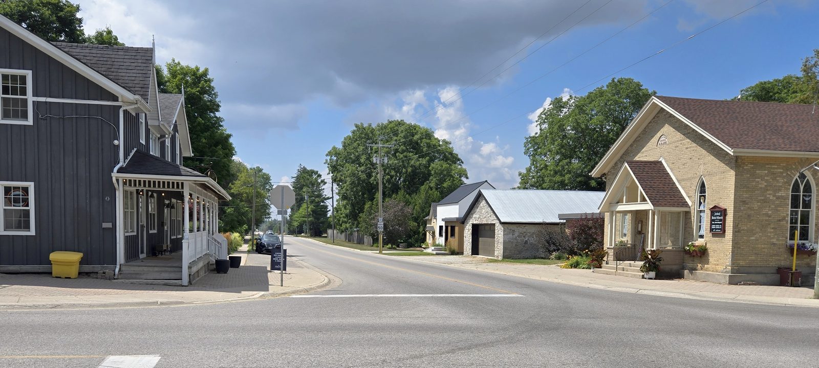
A quiet village street in Arkell with a grey clapboard house, a stone house, and tall trees under a cloudy sky
The main street in Arkell.
Photo: Magnolia677, CC BY-SA 4.0

The north end

Arkell

Arkell, said “AR-kull”, is named for John Arkell, who came from England in 1831, started the community, and went back home three years later. His cousin Thomas stayed on, bred sheep and cattle, and served as a magistrate for thirty years. Victoria Park East, a public golf course that opened in 1974 on the old Hales farm, is on Victoria Road South, just west of the village.

The Arkell Spring Grounds, along the Eramosa River just north and east of the village, supply part of Guelph’s drinking water, and the spring water has drawn brewers to the area too. Starkey Hill, just east of the village, has a loop trail through the woods, and cyclists often stop here on country rides out of Guelph.

Sources

We wrote this guide from the public sources listed here, and checked each place against them. Neighbourhood names follow local usage, the streets named are examples rather than boundaries, and the marks on the map are approximate. Details such as school boundaries, zoning, and transit routes change, so please check anything important with the municipality or the school board.