Waterloo Region · Elmira, St. Jacobs, and Breslau

Woolwich

Farm country north of Waterloo, between the Grand and the Conestogo rivers, with two busy villages, a growing one beside Kitchener, and Old Order Mennonite buggies on the side roads.

Map of Woolwich: main roads and highways, rivers, parks, and a few landmarks. Each part of town in this guide is marked; choose one to jump to itWoolwich857ElmiraSt. JacobsBreslauConestogo
Point to a part of town or a landmark, or tap itMap data © OpenStreetMap contributors
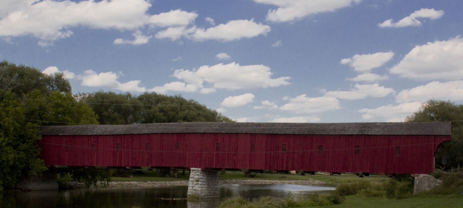
The long red West Montrose Covered Bridge crossing the Grand River on stone piers, under a blue sky with white clouds
The West Montrose Covered Bridge, built in 1880 and 1881.
Photo: Terri Caissie, CC BY-SA 3.0

About Woolwich

Woolwich is a rural township in the northeast of Waterloo Region, directly north and east of the City of Waterloo. It takes in about 326 square kilometres and a dozen small communities. Elmira is the largest, St. Jacobs is second, and Breslau, beside Kitchener, is growing fastest.

The first settlers came in the late 1700s. In 1807 William Wallace sold much of his large tract on the Grand River to Mennonites from Pennsylvania, and their families settled west of the river while English, Irish, and Scottish settlers took the land to the east. The township was incorporated in 1816 and named, most likely, after Woolwich in Kent.

Waterloo Region still has the largest Old Order Mennonite population in Canada, especially around St. Jacobs and Elmira, and horse drawn buggies on the township roads are a normal part of the day. The guide goes village by village: Elmira, St. Jacobs, Breslau, Conestogo, and then the smaller places along the rivers.
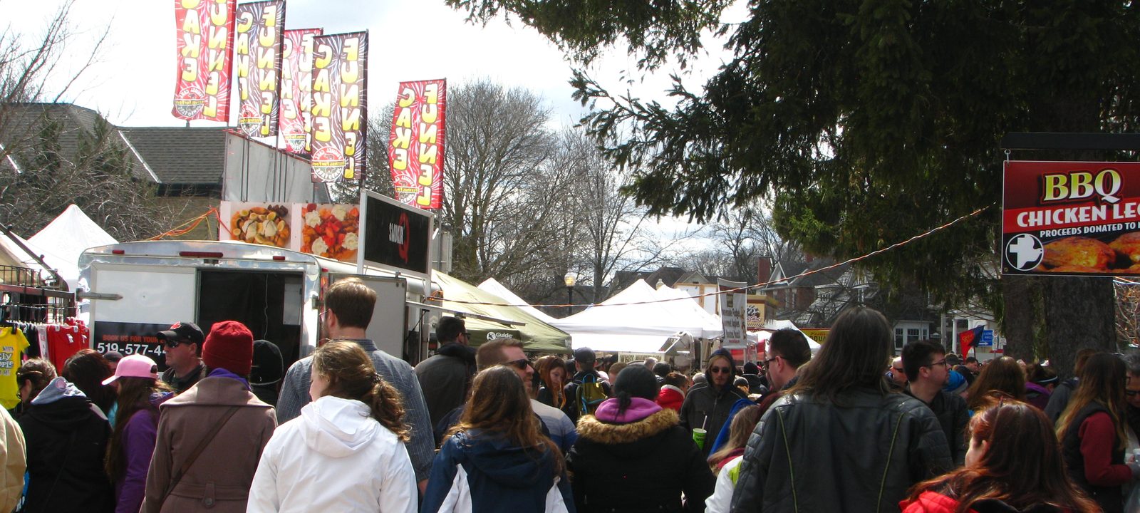
Crowds walking past food stands and festival banners on a street in Elmira during the Maple Syrup Festival
The Elmira Maple Syrup Festival, held every spring since 1965.
Photo: Laurel L. Russwurm, CC BY 2.0

The largest village

Elmira

Elmira began as Bristow’s Corners. Edward Bristow, from Sussex, bought land here in 1834 and opened the first store and tavern, and the settlement was renamed Elmira in 1853. It grew into the township’s main working town, and it is still where most of Woolwich’s industry is.

Every spring since 1965, the Elmira Maple Syrup Festival has drawn tens of thousands of people to the town. In 2000 Guinness named it the largest single day maple syrup festival in the world.

Day to day

The Woolwich Memorial Centre, on Snyder Avenue South, has two ice pads, two pools, a fitness centre, and a walking track. Elmira District Secondary School, the only high school in the township, is on University Avenue West and draws students from St. Jacobs, Conestogo, and the farm country around. The Elmira library opened with a Carnegie grant in 1911. Grand River Transit’s route 21 runs between Elmira and Conestoga station in Waterloo. Elmira Golf Club, at the edge of town, opened its front nine in 1965, and while it has members, public golf players are welcome.

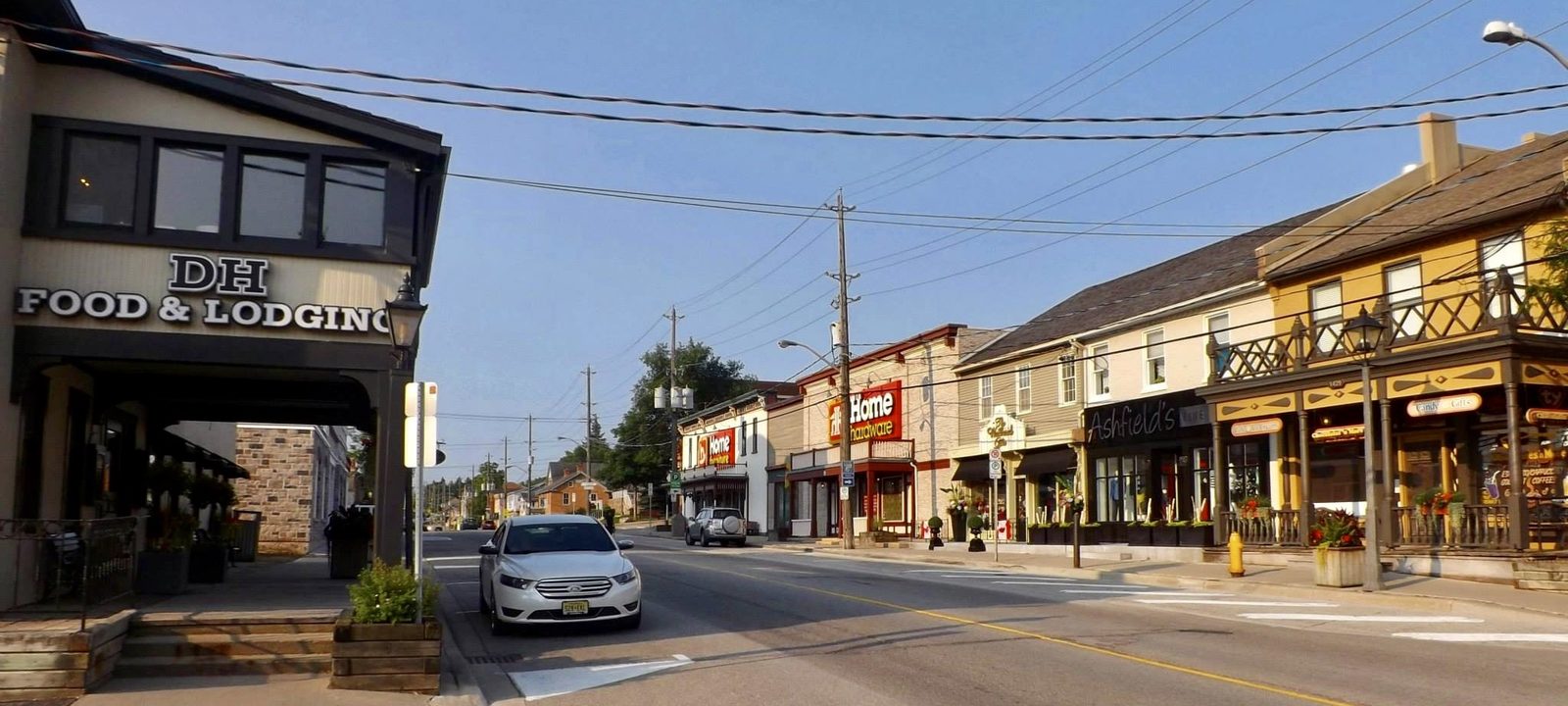
King Street North in St. Jacobs, lined with low wooden storefronts, shops, and a restaurant under a clear blue sky
King Street North, the main street of St. Jacobs.
Photo: Andre Carrotflower, CC BY-SA 4.0

The mill village

St. Jacobs

St. Jacobs was settled around 1830. Jacob C. Snider, a farmer and early industrialist, built a dam and then a sawmill, woollen mill, and flour mill by 1852, and the village took its name from him and his son. Its first name was Jakobstettel, Jacob’s village.

Today the old mill buildings along King Street hold shops and studios, and a two kilometre millrace path follows the Conestogo River through the trees. The visitor centre downtown explains the Mennonite story. Home Hardware was founded in St. Jacobs in 1963, and its head office is still here.

Three kilometres south, on the edge of Waterloo, the St. Jacobs Farmers’ Market is the area’s best known draw. The Waterloo Central Railway runs heritage trains between the market, the village, and Elmira on market days from May to October.

Beside Kitchener

Breslau

Breslau sits just across the Grand River from Kitchener, at Highway 7 and Regional Road 17, and it takes its name from the German name for the city of Wrocław. It is the fastest growing community in the township, with new streets of family homes, and Guelph is close by too.

The Region of Waterloo International Airport is just south of the village, east of the Grand. A GO station in Breslau has been planned for the Kitchener line, which would give the township its first GO train stop. Merry-Hill, on Shantz Station Road near Maryhill, has a Breslau address and is a public golf course with 27 holes of executive length.

A wide green field of young crops stretching to a line of trees and farm buildings on the horizon near St. Jacobs
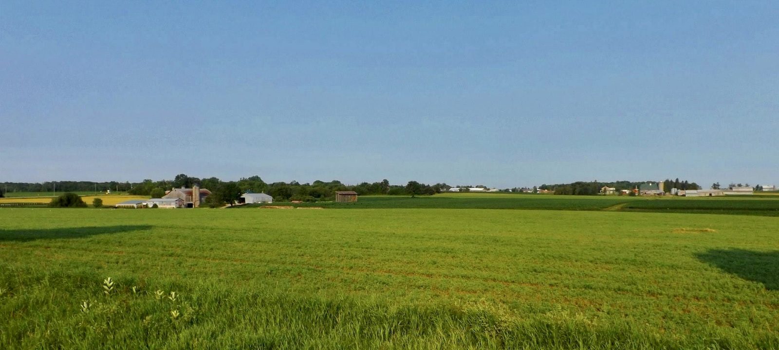
Farmland along King Street North, just outside St. Jacobs.
Photo: Andre Carrotflower, CC BY-SA 4.0

Along the Grand

Conestogo and the river villages

Conestogo stands where the Conestogo River meets the Grand. David Musselman bought land here in 1830 and built mills, and the place was called Musselman’s Mills until 1852, when it was renamed for the Conestoga River country in Pennsylvania that many of its settlers came from. It is the end of the Avon Trail, and the first church in Woolwich was built nearby at Three Bridges around 1823. Conestoga Golf Club runs along the Grand at the edge of the village, with 27 public golf holes, some of which cross the river.

Upriver, the smaller communities each have their own character. Most are a few streets of homes, a church or two, and farms all around.

Hamlets and villages

West Montrose

Home of the West Montrose Covered Bridge, built over the Grand in 1880 and 1881 by John and Benjamin Bear and known locally as the Kissing Bridge. It is the only covered bridge left in Ontario, and the township has designated the settlement a cultural heritage landscape.

Winterbourne

On the east side of the Grand, where Cox Creek comes in. Scottish settlers came in the 1830s, and Henry Lanphier dammed the creek for mills in the 1850s.

Maryhill

A small community east of the Grand, toward Guelph, with Hopewell Creek running through it.

Bloomingdale

On the Grand between Kitchener and Conestogo, close to the north edge of Kitchener.

Floradale

North of Elmira, among Mennonite farms.

Sources

We wrote this guide from the public sources listed here, and checked each place against them. Neighbourhood names follow local usage, the streets named are examples rather than boundaries, and the marks on the map are approximate. Details such as school boundaries, zoning, and transit routes change, so please check anything important with the municipality or the school board.